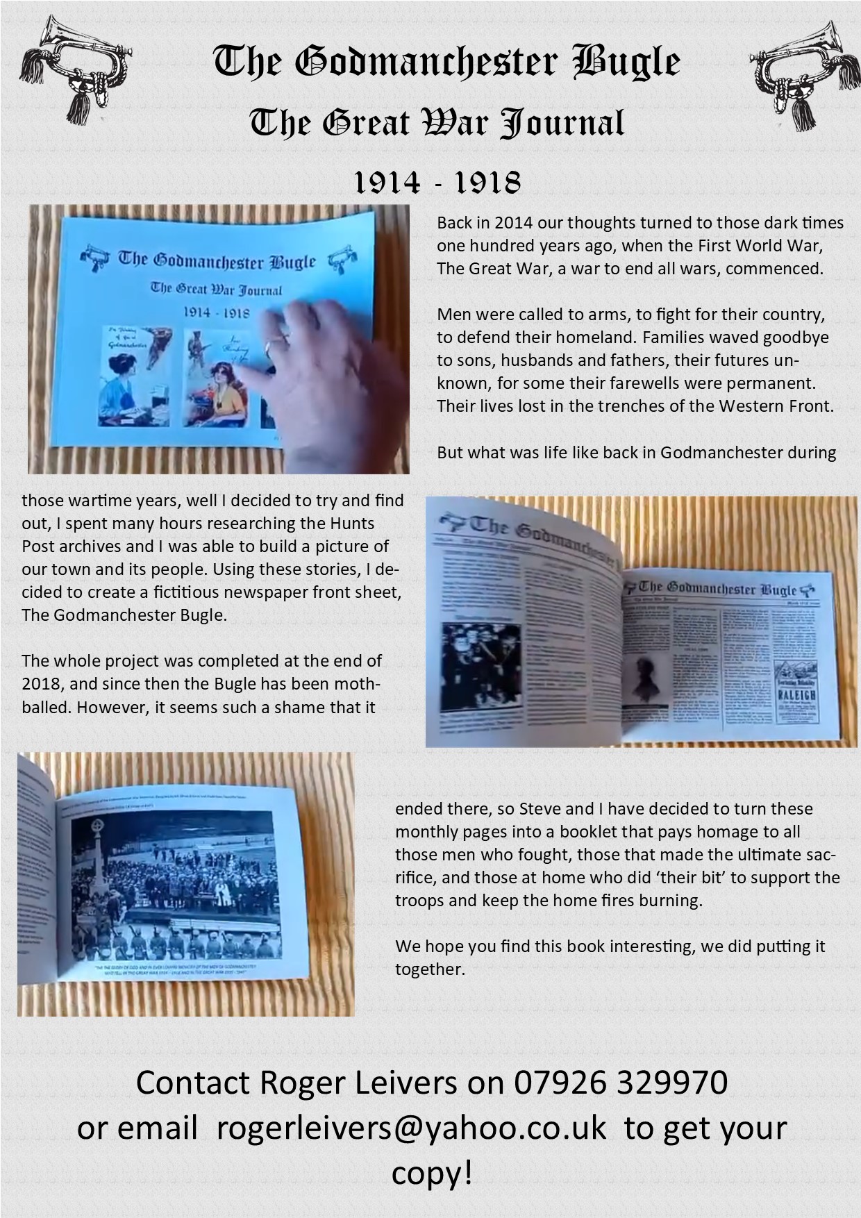
Rare Roman Millstone with Phallic image
Kate Hadley, Curator of The Godmanchester Museum was presented with the stone by Quinton Carroll, Cambridge County Council’s archaeology boss and head of the Historic Environment Team. The millstone with its phallic image is part of a Roman magic system that regulated everyday life in ancient times.
Within that social map of magical regulation, this phallogenic stone promises protection from the evil eye or ill-wishing gods and also promotes bravery, wellbeing, fertility and protection to the grain and bread trade, both of which underpin the legal and trading functions of Roman society. Soldiers were paid in bread. Grain formed part of the Empire-wide Annona tax, but particularly powerful in Roman Britain.
Like many millstones, this has been imported from Derbyshire and a skilled artist stonemason has been employed to carve the phallus, so it is an expensive stone, a grand tool. It was found during the A14 excavations, in a high-end Godmanchester Roman villa, and one would assume belongs to a powerful owner.
Welcome To The Godmanchester Museum
We are an independent museum and a registered charity. The museum is run by a small team of enthusiastic volunteers who work together to record the town’s history and its people. We receive no government funding and rely on funds from various organisations, donations and the generosity of our visitors to fund our projects.
Transformation and Godmanchester Museum News 2020
Godmanchester Museum's new name brings it in line to reflect the town the museum serves in readiness for the planned Transformation of the Church of St Mary the Virgin. The old Porch Museum name has been changed to Godmanchester in order to more straightforwardly represent the town and now the museum is organising future collections, display boards and events.
All of this is in preparation for the eventual incorporation of the museum into the church of St Mary during its Transformation and modernisation. The future planned move into the church - a museum within a church is a great rarity in the UK - will enable the museum to open more frequently, making it available to schools and people in the town.
There is a startling collection of Roman and Iron Age artefacts and extensive display boards consistent with the explanation of Godmanchester as a Roman Town and old pictures from private archives, family history boards, fascinating school photographs and displays devoted to WW1 and WW11.
One of the Museums aims is to produce and show short films devoted to the history of the town. We want to capture, through the memories of some of the oldest members of our community, as clear a perception as we can get of the way life was in this lovely town during the first half of the 20th century.
Information Request: Chris Higgins & The Liberty Bell
The Godmanchester Museum would like to hear from anyone that was a pupil at Godmanchester Primary School in 1976 and can remember Chris Higgins visiting the school with a replica of the Liberty Bell
Please let us know if you have any recollections of his visit, the Head teacher would have been Reginald Lord.
The Air War in Huntingdonshire WW2 Book
 Roger Reynolds has put together a comprehensive account of the RAF Squadrons, that flew out of Huntingdonshire during WW2.
It tells the story of the airfields of Wyton, Upwood, Alconbury, Gravely, Warboys and Little Staughton, the men and aircraft that took to the skies to carry the war to Germany, the raids they carried out and those that lost their lives or became prisoners of war.
Overlooking the Short Sterling typo its a hugely important record of this county’s contribution to the ultimate defeat of the Nazi regime, from the early days of unreliable aircraft and poor navigation to the new bombers and the rapid invention of new and more accurate equipment and the building of the Pathfinder force.
In addition to the book Roger is keen to help any relatives searching for further information on their loved ones, and is happy to do all he can, we at the Godmanchester Museum are delighted to pass on your requests to Roger.
To purchase a copy of this book contact Roger Reynolds on 01487 500033
This email address is being protected from spambots. You need JavaScript enabled to view it. Price £12.99 inc P&P